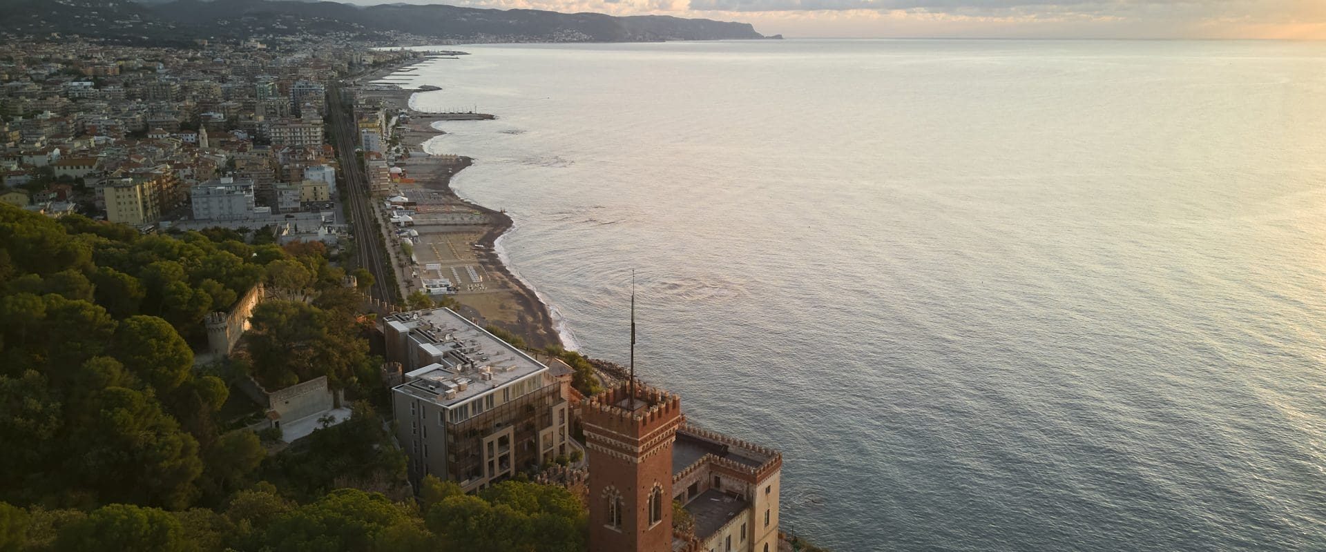
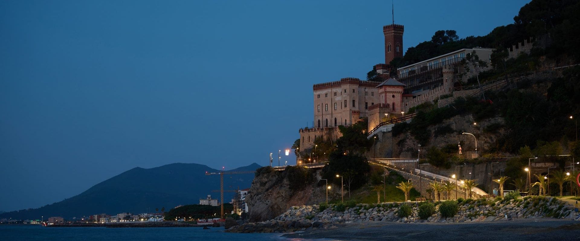
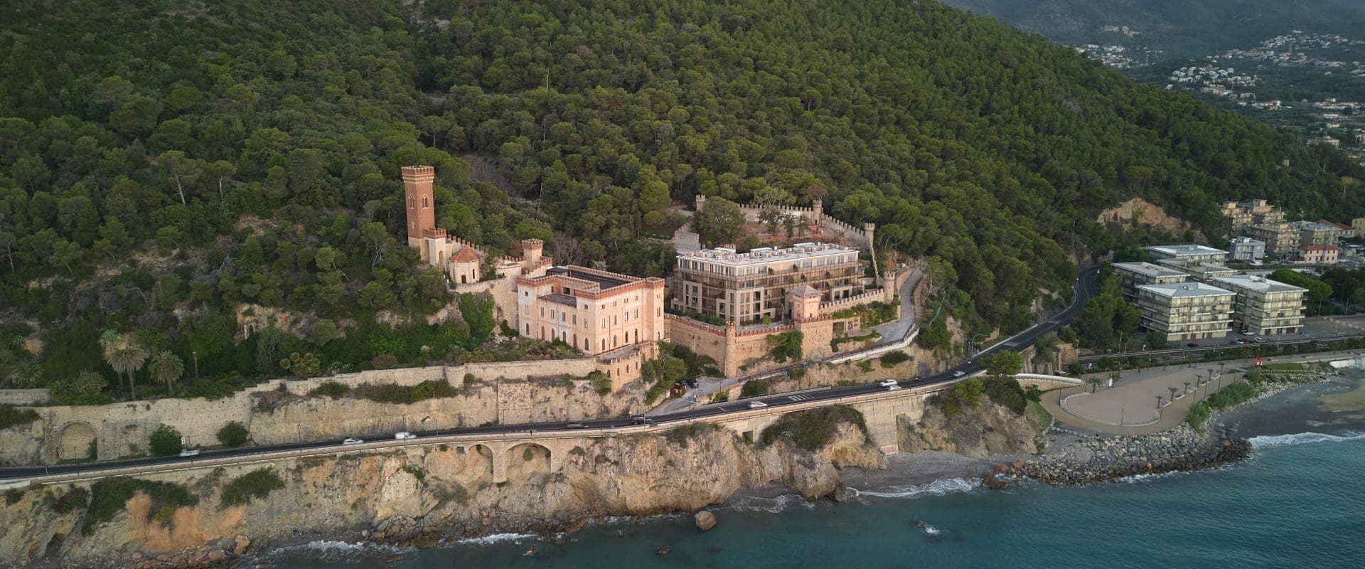
Castello Borelli, with Mount Piccaro behind it, affects a property of about 400,00 sq. m. that stretches from the sea and the Aurelia state highway to the summit of the mountain.
The area is of particular importance from a landscape point of view, both because of its position in the territorial scope, where the sea meets the mountain, and because of the beauty of the botanical park, an excellent example of Mediterranean scrub in a good state of preservation. In addition, the park is traversed by a system of hiking trails connecting the coast and the Poggio Grande nature system.
In particular, the ridge path that crosses the park of Borelli Castle and climbs to Mount Piccaro and Mount Croce is highlighted, not only for the visual glimpses it offers but also for the presence of a particular work of conveyance of rainwater made in the late nineteenth century by engineer Borelli.
The Urban Implementation Plan proposes the arrangement of the main paths that make up the road network of Mount Piccaro through some conservation and consolidation works, the elimination of invasive shrubs, which have grown haphazardly over the years, and the recovery of the side gutters for the disposal of rainwater made by engineer Borelli.
The castle recovery project introduces as an element of absolute innovation of the system the collective and public dimension of the access space. Based on the suggestions drawn from reflection on the deep historical roots of the “Ligurian village,” architect Ferrater’s project proposes the creation of a real square as a new centrality for the destinations introduced by the project and a place of exaltation of their functional and aesthetic balance.


